DISCOVER NORTHERN SAMAR

Located Eastern Visayas, Philippines, Northern Samar is bordered by the San Bernardino Strait and the Pacific Ocean. With 24 towns and 2 cities, it is blessed with 1,112 km of coastline, protected natural wonders, and vibrant communities that make it a truly unforgettable destination.

Location

Location: Northern Samar is located is Eastern Visayas, Philippines, bordered by the San Bernardino Strait and the Pacific Ocean. Norhern Samar is classified as a 1st class province, with a total land area of 3,498 square kilometers or 3,498,000 hectares. Approximately 52 percent of the area is covered by forest, and 42 percent is classified as alienable and disposable. It is composed of 24 municipalities and 569 barangays.

Coastline Paradise

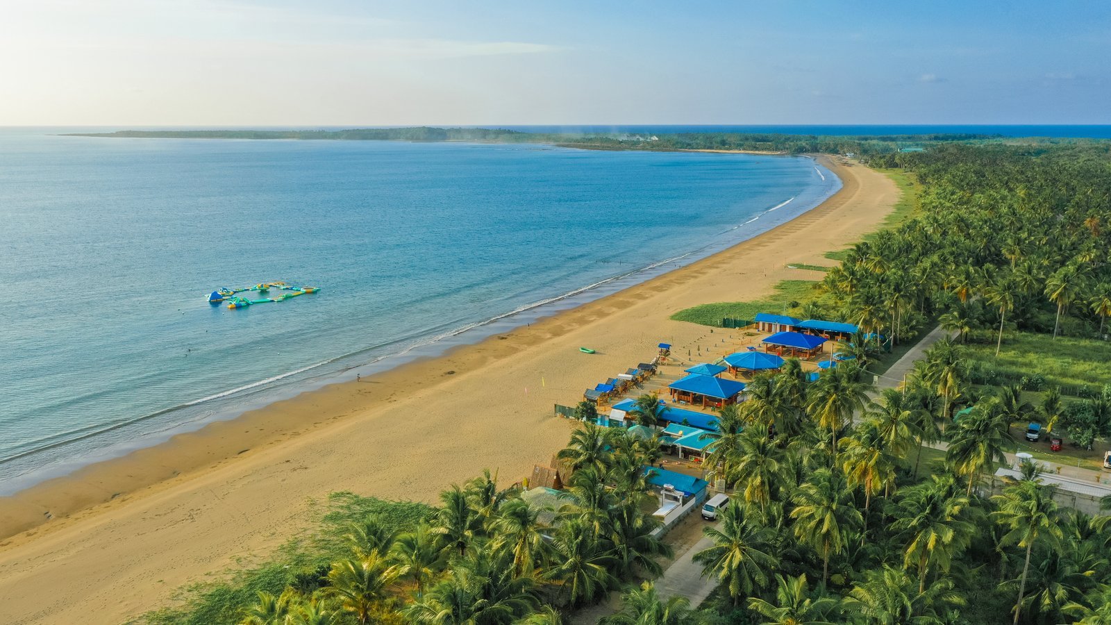
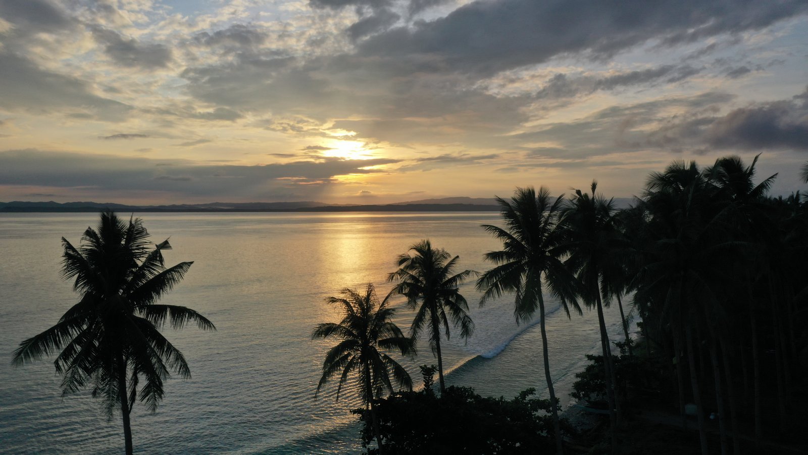
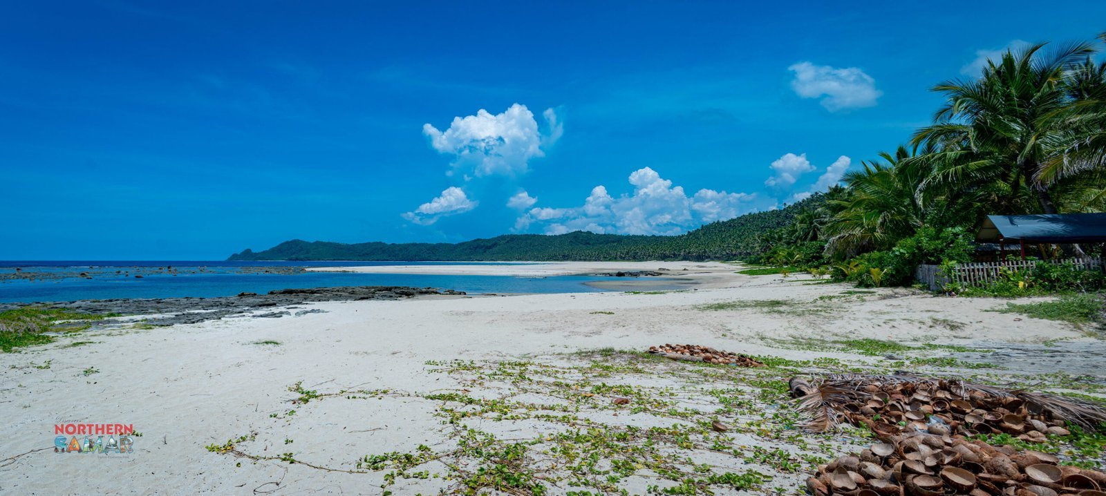
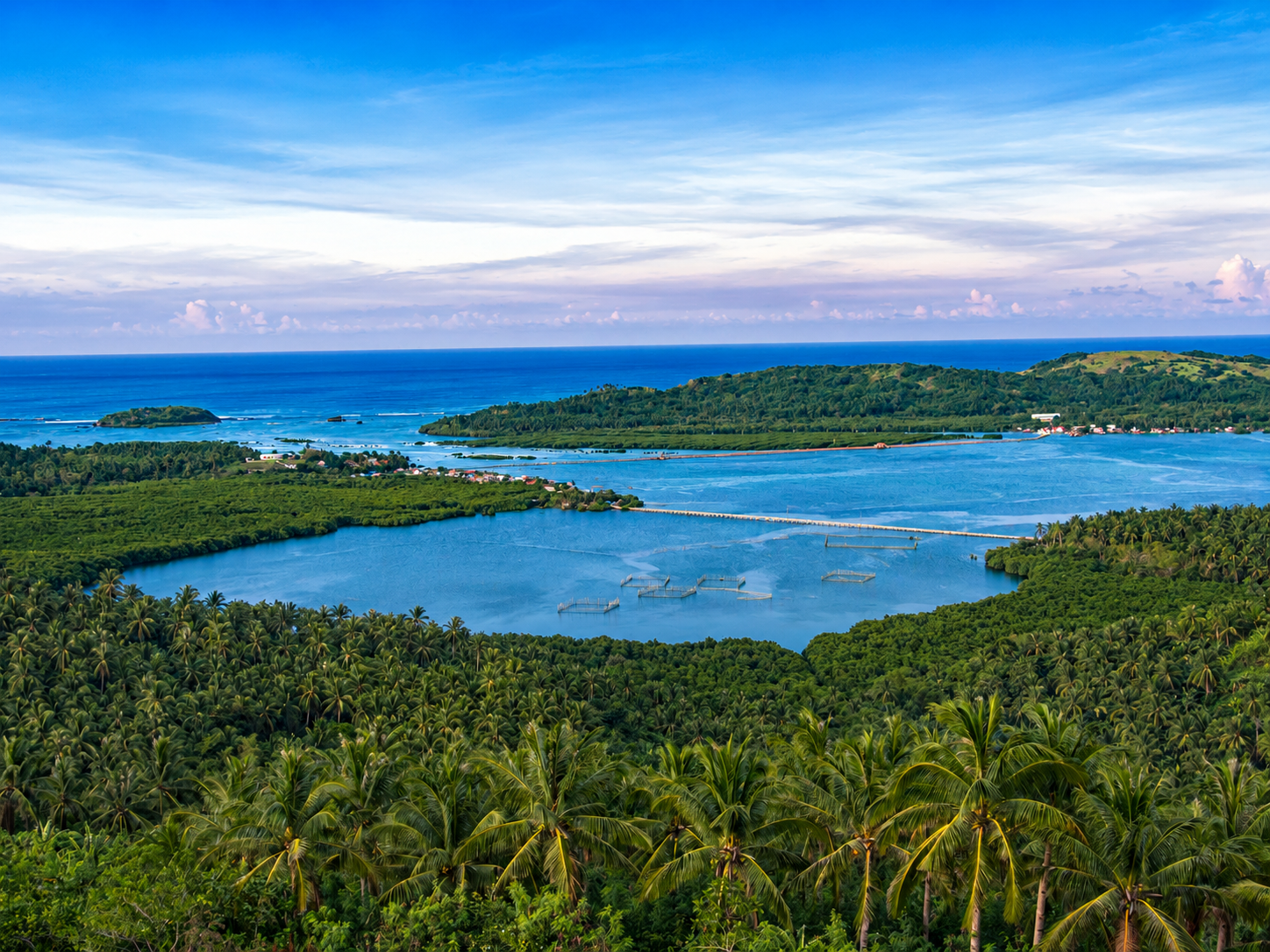
Coastline paradise: Home to stunning beaches, rock formations, caves, and mangrove forest-perfect for island hopping, eco-tours, and surfing

Biri Rocks

Biri Rocks: One of the seven National Geological Monuments in the philippines and one of the provinces most iconinc tourist attractions, formed by strong waves and winds over time.

Tour Circuits

Tour Circuits:Northern Samar offers thress main tour circuits-Protected Area Eco-tour Balicuatro Island Hopping, and Exploring the Pacific towns.

HOW TO GET HERE

airplaneCreated with Sketch Beta.

BY AIR

If you’re coming from Manila, take a bus to Clark and then fly to Catarman, Northern Samar. PAL’s flight as of this update is PR 2675 (Monday, Wednesday, Friday, Sunday, 08:00am). Travel time: 1 hour, 40 minutes

LOCAL TRANSPORT

From the airport, take a tricycle to the main terminal. Cost: P100 per trip if you take those trikes at the main parking lot of the airport. Travel time: 5 minutes

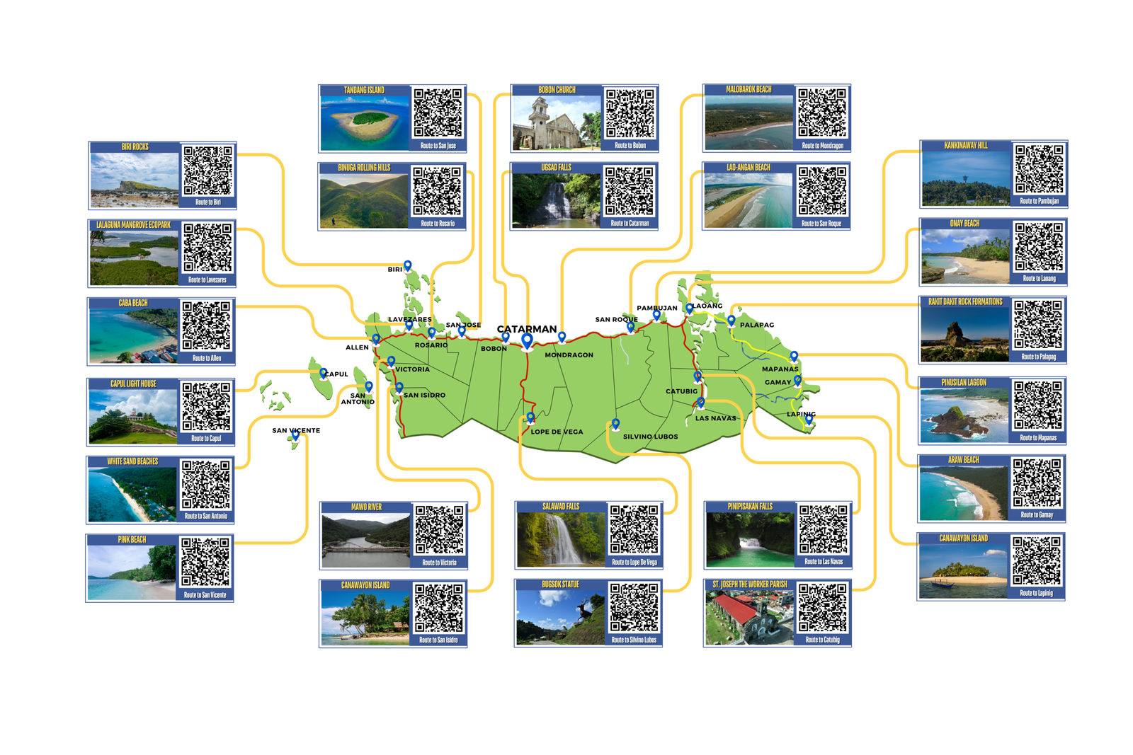
THE MAP OF NORTHERN SAMAR